
- Rutas
Las mejores rutas para descubrir Málaga en bicicleta
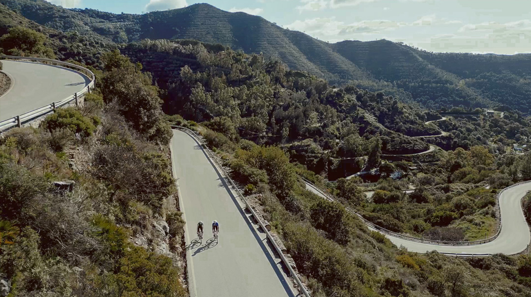
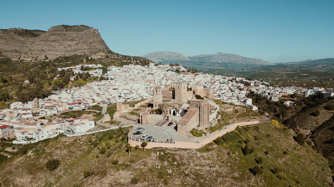
Explora Málaga a través de recorridos diseñados para todos los niveles. Desde rutas exigentes en carreteras de montaña hasta tranquilos paseos junto al mar, cada trayecto combina paisajes impresionantes, historia y la mejor experiencia cicloturista en el sur de España.
Cada ruta incluye información detallada, mapas interactivos y archivos GPX para que puedas navegar sin complicaciones. Conecta con Komoot, descubre puntos de interés y encuentra la ruta perfecta para ti.
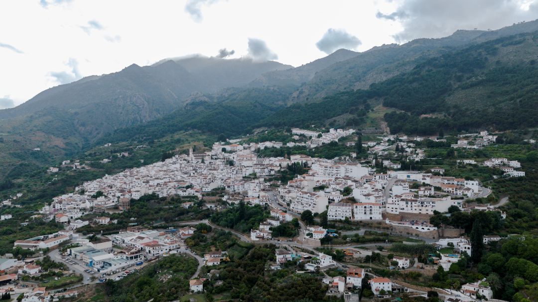
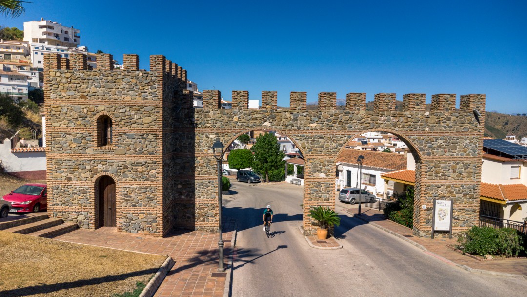
Una ruta exigente que parte del Mediterráneo para descubrir la Axarquía más profunda. Carreteras sinuosas, fuertes pendientes y un continuo terreno rompepiernas conectan pueblos blancos, viñedos y paisajes de montaña. Un recorrido tan duro como espectacular por el interior de Málaga.
- Circular
- 93 km
- 2.200 m
- Bajo - medio
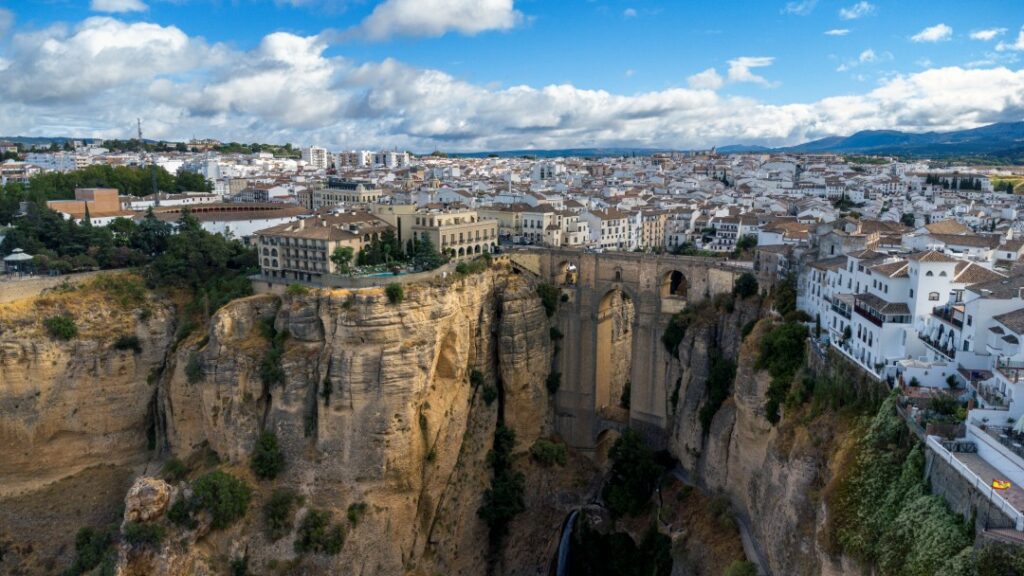
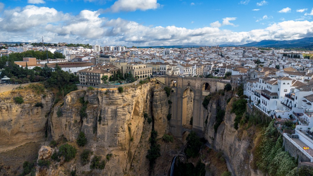
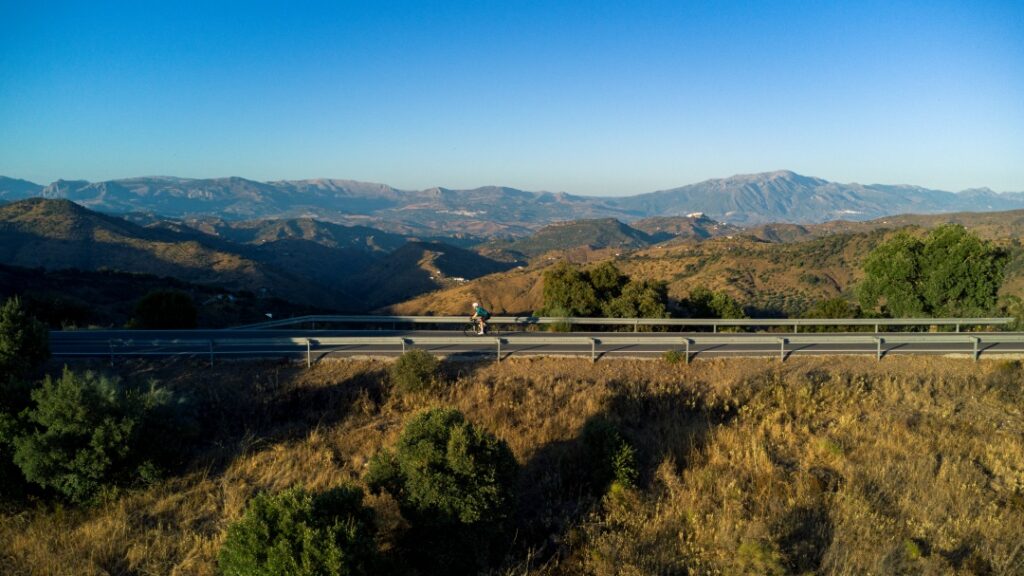
Una ruta exigente por el corazón de la Serranía de Ronda. Carreteras sinuosas, continuos desniveles y algunos de los pueblos blancos más representativos de la comarca acompañan un recorrido espectacular entre los valles del Guadiaro y del Genal. Ciclismo de montaña en estado puro.
- Circular
- 92 km
- 2.100 m
- Bajo
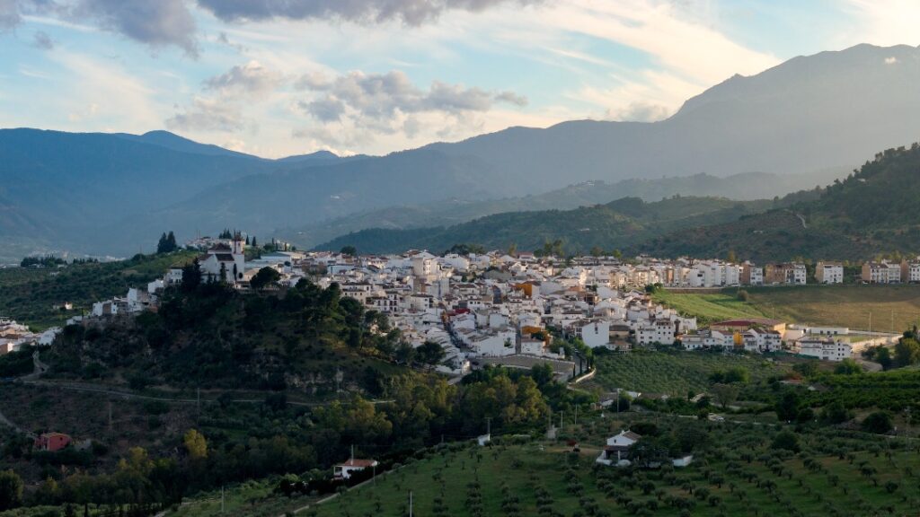
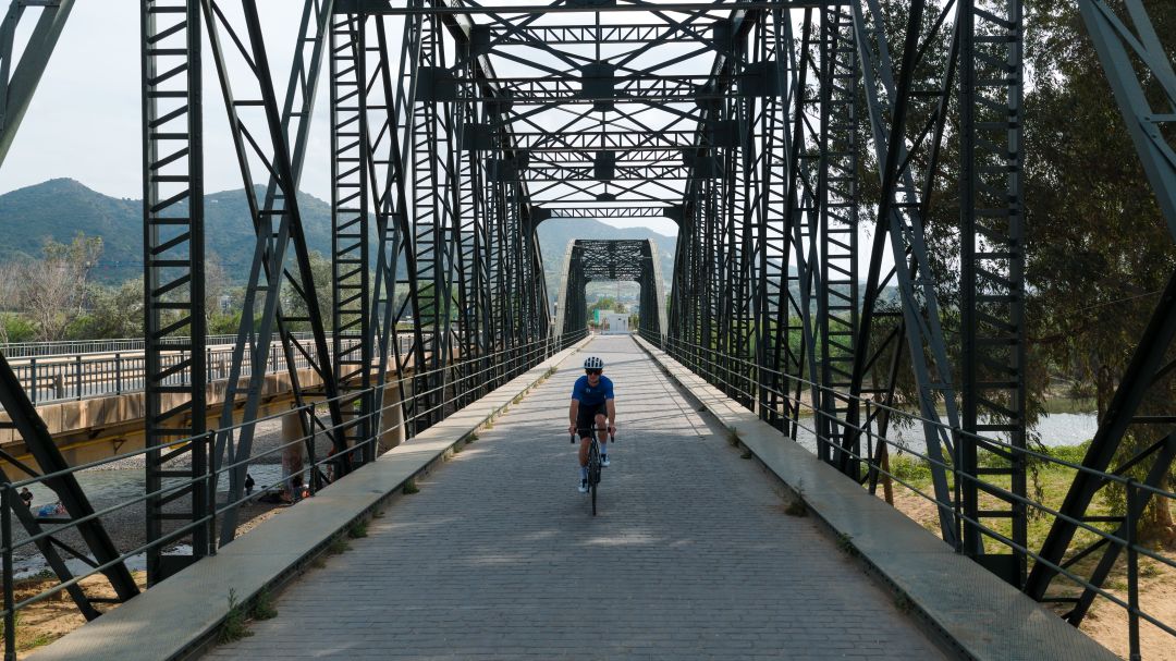
Una ruta que conecta algunos de los paisajes más representativos del Valle del Guadalhorce. Carreteras tranquilas, pueblos blancos, largas subidas y un recorrido variado que combina historia, naturaleza y auténtico ciclismo de interior. Una propuesta perfecta para descubrir otra cara de la provincia de Málaga.
- Circular
- 85km
- 1.500m
- Bajo
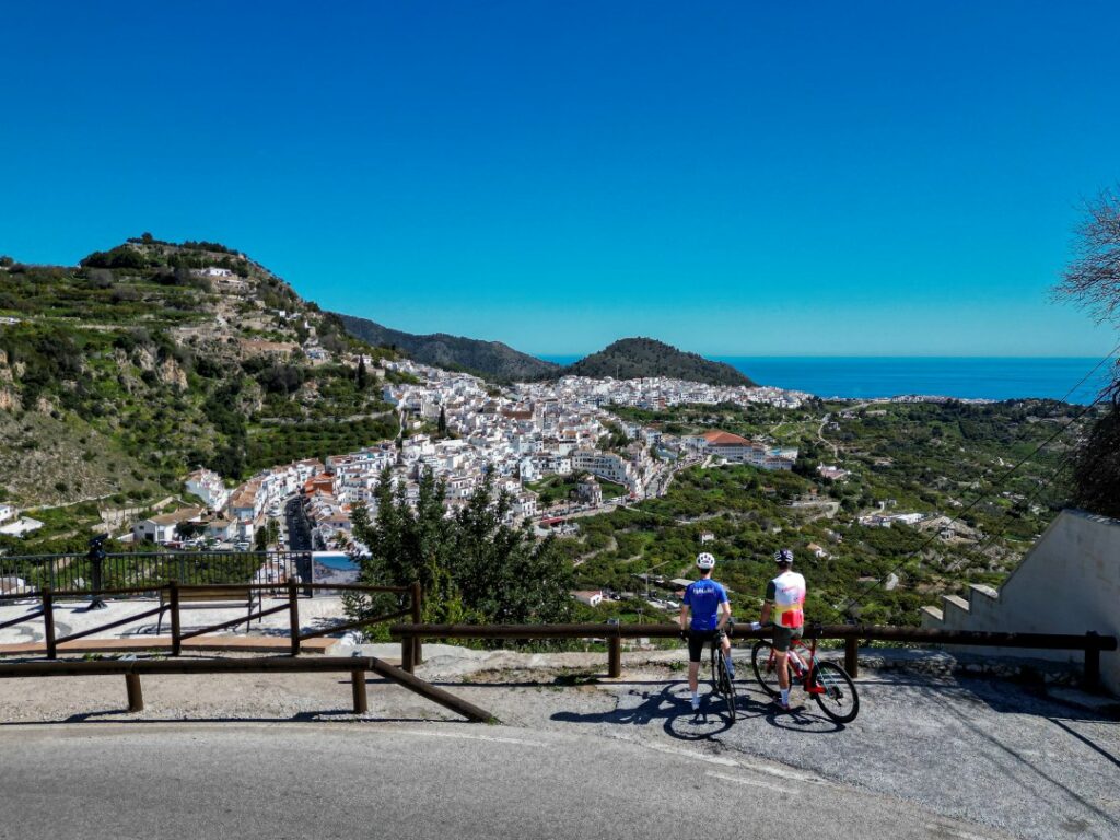
Una ruta que lo tiene todo: salida desde uno de los pueblos blancos más bonitos de Andalucía, tramo rápido junto al Mediterráneo y un exigente recorrido por el interior de la Axarquía. Subidas largas, terreno rompepiernas y un final en alto para cerrar un día de ciclismo muy completo.
- Circular
- 80km
- 1.500m
- Bajo
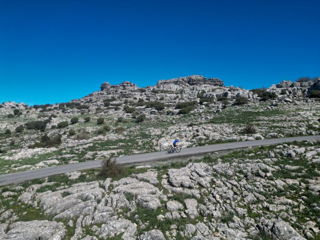
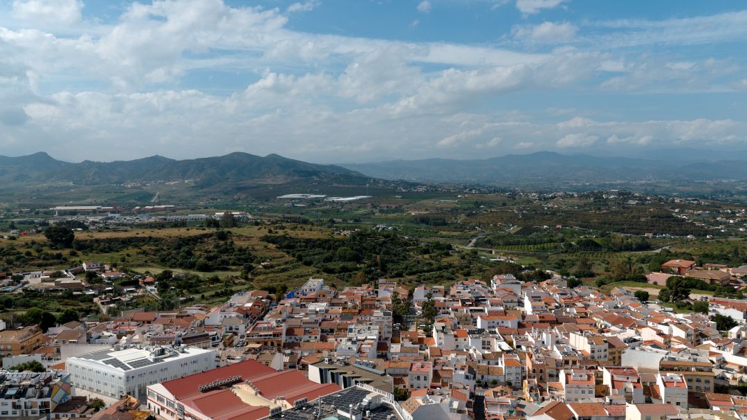
Entre llanuras y montaña, esta ruta circular desde Antequera asciende hasta el espectacular Torcal y recorre uno de los paisajes más singulares de la provincia. Subidas exigentes, descensos técnicos y un entorno natural único en el corazón de Andalucía. Un día completo de ciclismo con carácter.
- Circular
- 54km
- 1.300m
- Bajo
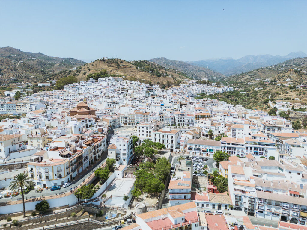
Entre mar y montaña, esta ruta circular desde Torrox recorre algunos de los pueblos blancos más bonitos de la Axarquía. Subidas con vistas, descensos técnicos y un final junto al Mediterráneo tras atravesar Frigiliana, Cómpeta o Sayalonga. Un día completo de ciclismo con sabor andaluz.
- Circular
- 74km
- 1.400m
- Tráfico bajo - medio
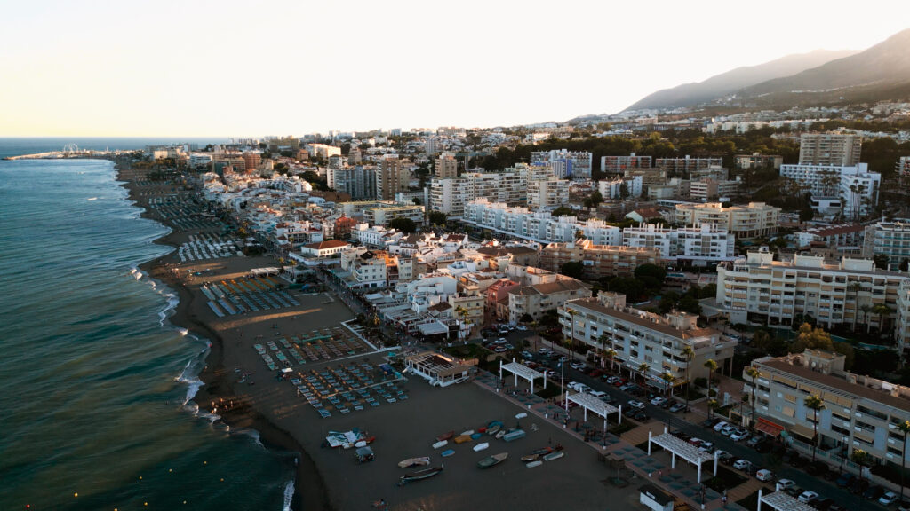
Desde el mar a la montaña y vuelta al Mediterráneo. Esta ruta circular parte de la costa de Torremolinos y atraviesa algunos de los paisajes más variados de la provincia: la subida a Benalmádena, las rampas de Mijas y los valles fértiles de Cártama y Churriana. Una jornada completa de ciclismo con sabor a tejeringos.
- Circular
- 74km
- 1.150m
- Trafico bajo - medio
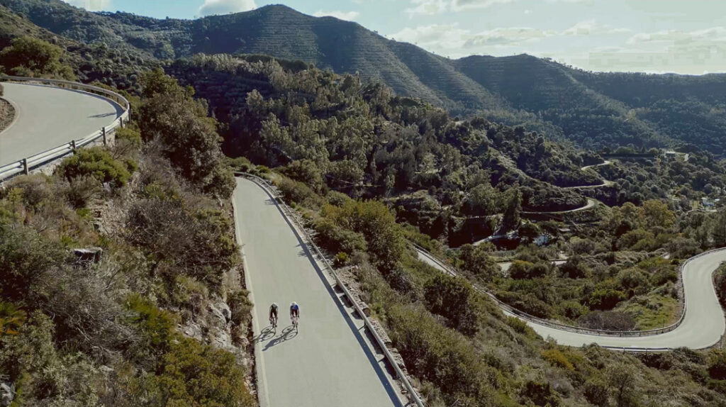
Desde las calles soleadas de Marbella, la ruta se interna en la Sierra Blanca, ascendiendo entre curvas suaves y pinares mediterráneos. El paso por Ojén abre la puerta a un entorno más salvaje y montañoso, donde el ascenso a El Juanar regala silencio, sombra y vistas amplias hacia la costa.
- Circular
- 45 km
- + 1000m
- Tráfico medio
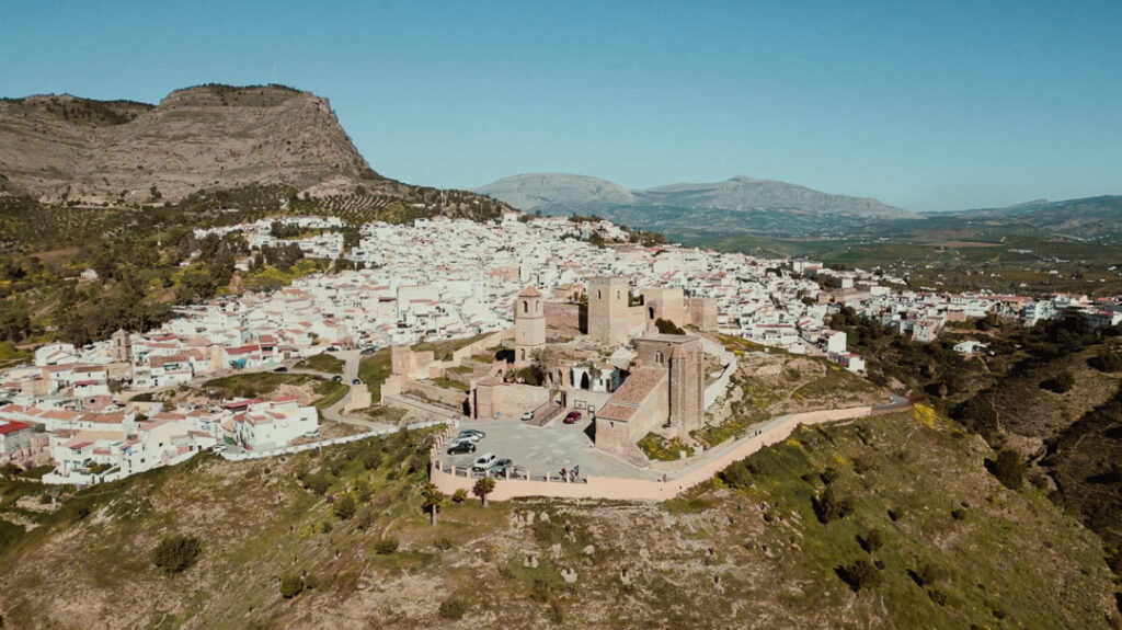
Desde Coín, la ruta se despliega hacia el norte entre campos y sierras. Tras atravesar pueblos llenos de encanto, se alcanza El Chorro, donde los cañones y el Caminito del Rey marcan el punto álgido de una jornada larga, montañosa y espectacular.
- Circular
- 120km
- + 1.800m
- Tráfico bajo-medio
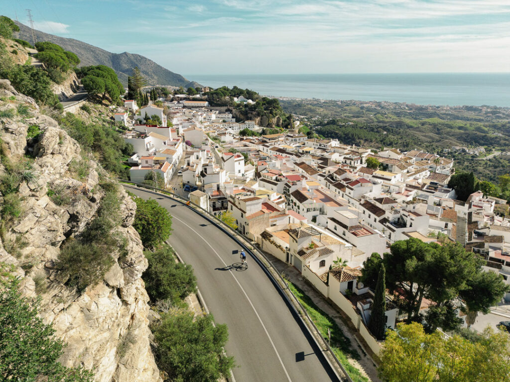
Desde el litoral junto al Parador de Golf, la ruta se aleja del mar para ascender por el interior. Entre campos y pueblos blancos, el trazado gana altura camino a Mijas, con vistas que alternan costa y montaña antes de regresar a Torremolinos.
- Circular
- 58 km
- + 830m
- Tráfico medio
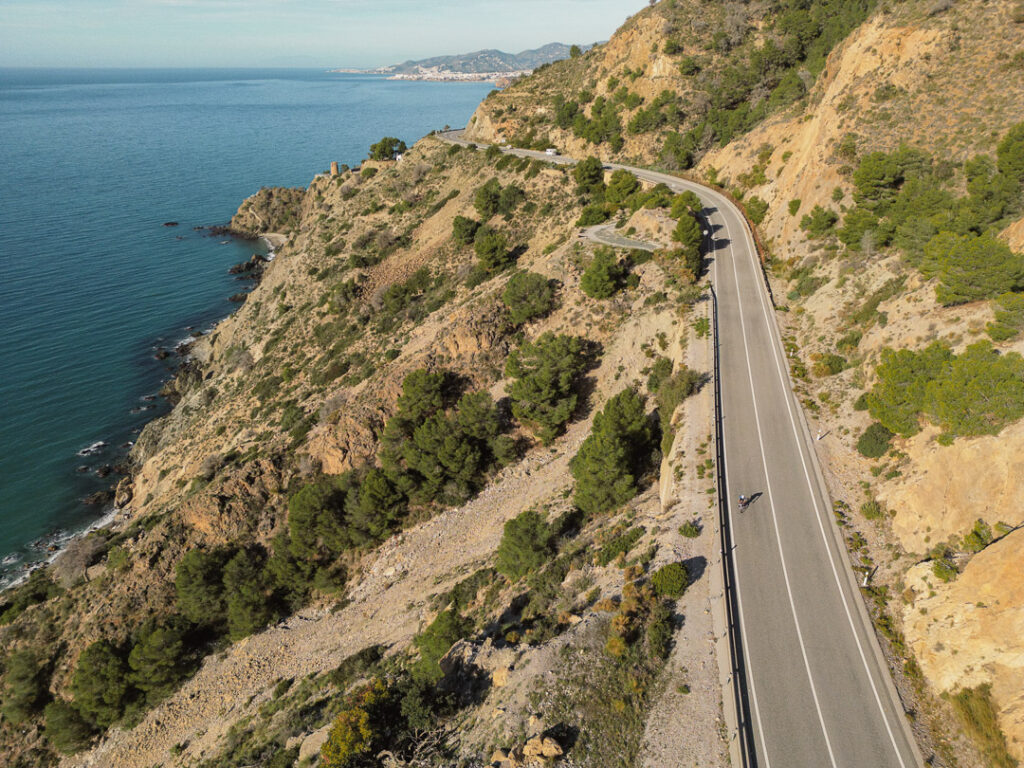
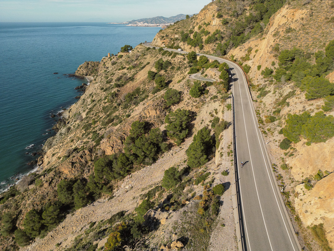
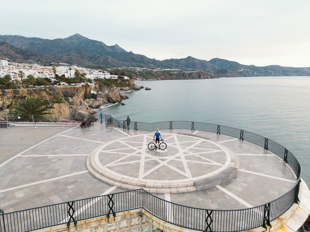
Desde el Balcón de Europa, la ruta sigue la costa antes de girar hacia el interior. Tras cruzar La Herradura, el camino se vuelve más exigente y silencioso, ascendiendo hacia el Puerto de los Castillejos entre montañas, pinares y vistas abiertas al mar.
- Circular
- 60 km
- + 1.500 m
- Tráfico bajo-medio
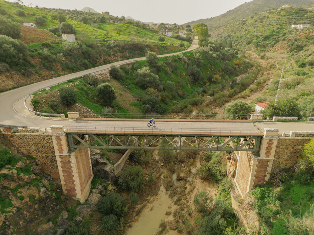
En pocos kilómetros, el ruido urbano se transforma en campo abierto. Las colinas suaves conducen hasta Almogía y, más adelante, el paisaje se vuelve más agreste en dirección a Villanueva, donde se asoma la silueta del Torcal entre olivares y montes solitarios.
- Circular
- 85 km
- +1.400 m
- Tráfico bajo-medio
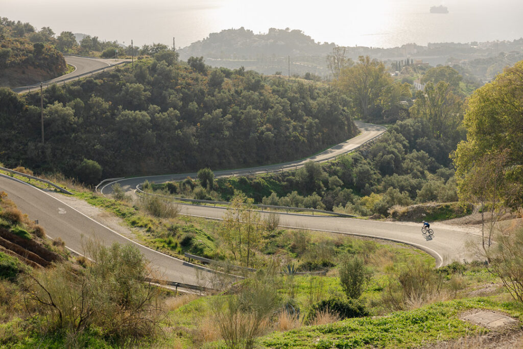
Desde Málaga, la ruta asciende entre montañas, dejando atrás el bullicio urbano. El camino se envuelve en silencio y pinares hasta coronar el Puerto del León, antes de un descenso sereno hacia Olías.
- Circular
- 49 km
- 1.200 m+
- Tráfico bajo